Map-first discovery
Explore permit activity by neighborhood, address, or area instead of searching rows in a legacy table.


PermitsView is a public transparency layer for cities and counties. It connects to existing permit data and gives residents a clear way to search, explore, and understand local activity.
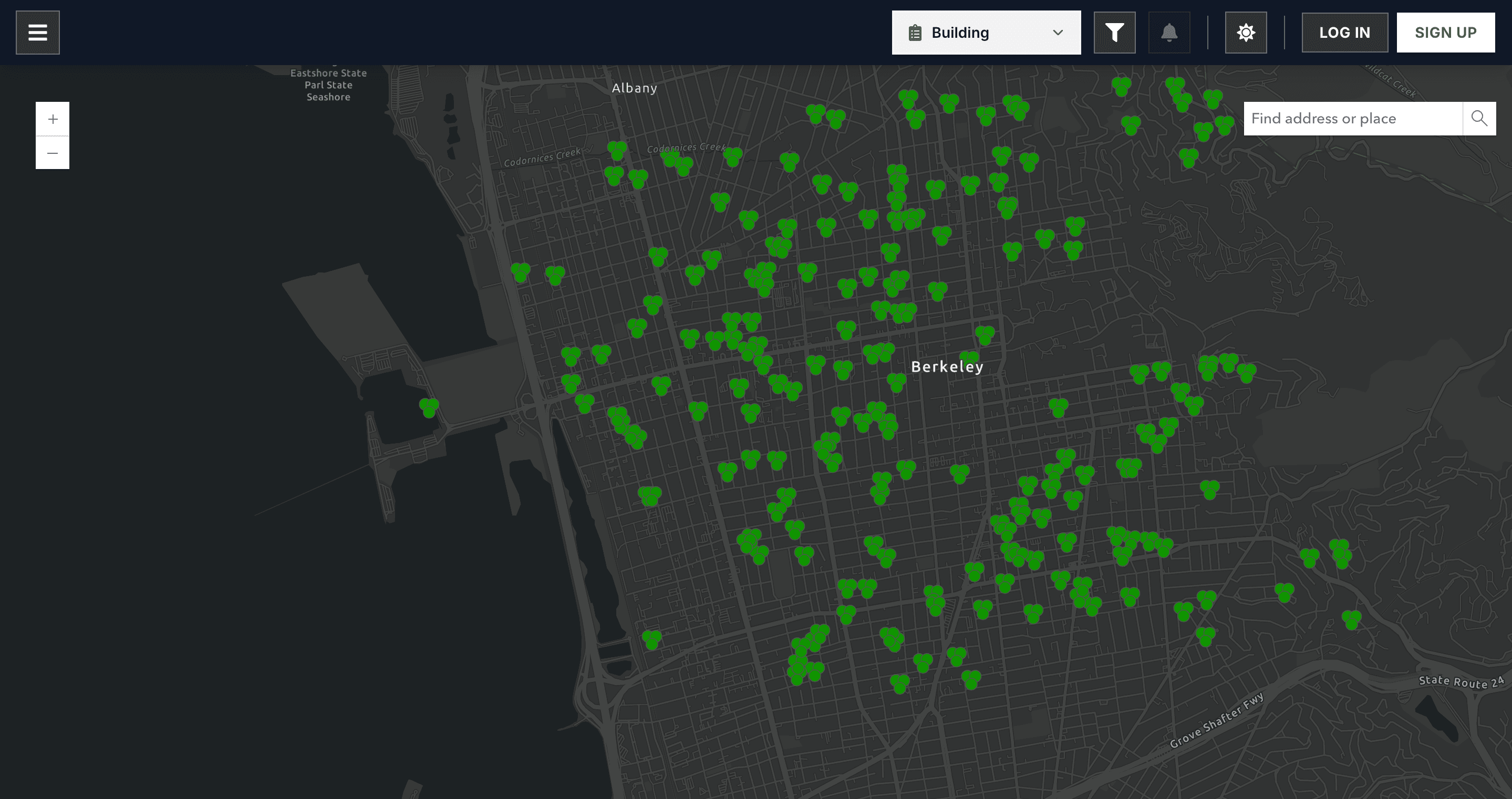
Actual PermitsView interface shown with sample Berkeley permit data
Most public systems expose records, but they do not help people understand what is happening around them.
Residents search through systems designed for internal workflows.
Explore permit activity by neighborhood, address, or area instead of searching rows in a legacy table.
Find records by type, status, date, applicant, and location in a few clicks.
Let residents follow places they care about and stay informed as activity changes.
Present data from existing systems through one consistent, mobile-friendly interface.
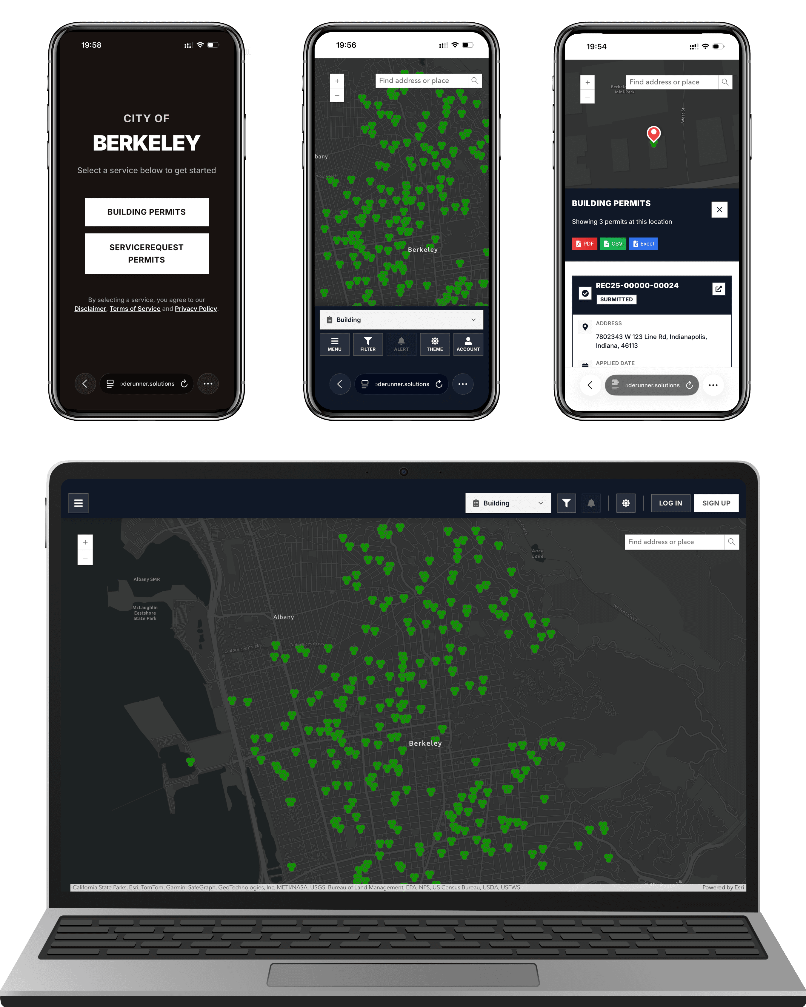
Your existing permitting software continues to manage applications, reviews, and approvals. PermitsView reads selected records and presents them in a city-branded map and search experience.
Use an API or scheduled export from your current permit system.
Set local branding, terminology, filters, and visible record types.
Give residents and staff a searchable map that works on any device.
PermitsView does not replace your system of record or process permit applications.
See how it fits your cityMake public information easier to access while giving teams more time and better visibility.
Give people clearer answers online and reduce routine status calls to city teams.
Spend less time locating records and more time moving important work forward.
See patterns across neighborhoods and use permit activity to support planning.
Launch a better public experience while keeping the systems your teams rely on.
Start with the connection that fits your environment. PermitsView can consume APIs, scheduled data exports, or link back to source records.
Live, structured data from supported endpoints.
Secure refreshes from existing exports.
Keep full records in the system of record.
Have a different question? Our team is happy to talk through your environment.
Cities and counties use PermitsView to give residents a clearer public view of permit activity. Staff can also use the same interface for faster lookup and context.
No. Your current system remains the official source of record and continues to manage applications and approvals. PermitsView presents selected data through a clearer public interface.
They can select a location on the map, review a clear summary, and open the full source record when deeper detail is needed.
Yes. Branding, permit types, filters, terminology, access rules, and integrations can be tailored for each deployment.
Tell us about your city, county, or agency. We'll share a tailored walkthrough and practical next steps.
Chat on WhatsAppUsually replies during business hours